
Texas City Landscan
Center for Land Use Interpretation (USA)
Galata Greek Primary School
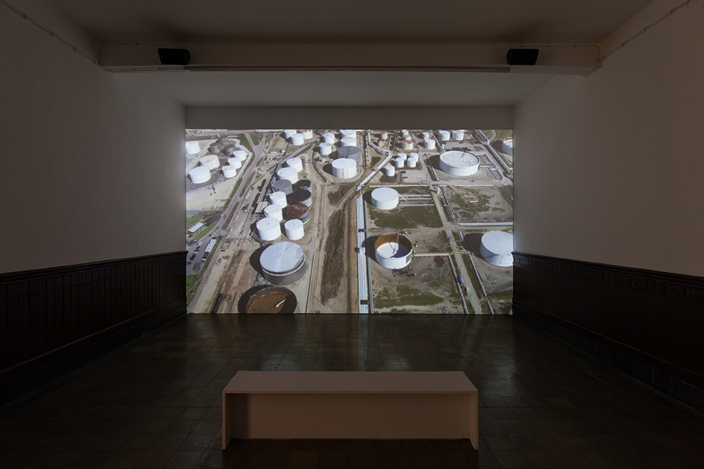
“We believe that the manmade landscape is a cultural inscription that can be read to better understand who we are, and what we are doing… Landscans are high-definition videos, shot from moving aircraft, looking at the ground, with limited camera movement or edits, and usually lasting at least several minutes in length. Places selected to be depicted in this manner are sites of national significance that are large in area or linear in form, presenting a challenge to conventional documentary processes… The Landscan is meant to speak for itself, and, like a lot of ‘visual art,’ is meant to be absorbed on its own terms. It is not appropriate for us to write about it, to interpret it, as it already is an interpretation of the landscape. Any further interpretation should take place in the viewer’s mind.” –CLUI
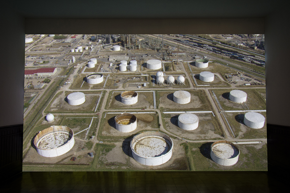
Texas City Landscan is a flyover video of the Texas City Refinery produced by the Center for Land Use Interpretation, an American research and education organization devoted to how the nation’s lands are altered, used and perceived. The oil refinery southeast of Houston is four miles wide, making it one of the largest industrial sites in the world. The slow, hypnotic progression of the film across it gives the impression that it stretches ad infinitum.